

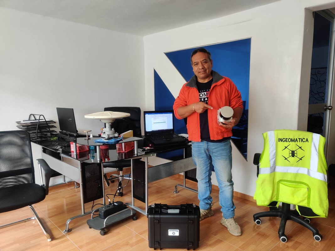
EU Airborne UAV LiDAR Scanning GS-130X Hesai XT32 Laser Senor High Accuracy Pos Colored Point Cloud

Contact Person : Lanbooxie
Phone Number : +86 15527360208
WhatsApp : +8615527360208

| Minimum Order Quantity : | 1 | Price : | Negotiation |
|---|---|---|---|
| Packaging Details : | Suitcase 450*365*220mm | Delivery Time : | 10-15 working days |
| Payment Terms : | T/T | Supply Ability : | 30 set/month |
| Place of Origin: | China | Brand Name: | Geosun |
|---|---|---|---|
| Certification: | CE ISO | Model Number: | GS-130X |
|
Detail Information |
|||
| Product Name: | UAV LiDAR System | Cost: | Affordable |
|---|---|---|---|
| Size: | Small | Field Of View: | Wide |
| Flight Time: | Long | Weight: | 2.5 Kg |
| Power Consumption: | Low | Accuracy: | High |
Product Description
The UAV LiDAR System is a commercial drone surveying solution designed to provide accurate and long-range data mapping capabilities. With the UAV LiDAR System, users can benefit from its powerful combination of long-range, low power consumption, and onboard data storage. It offers up to 10 km range, low power consumption, extended flight time, and high accuracy data collection capabilities. Utilizing LiDAR technology, the UAV LiDAR System provides users with a comprehensive surveying solution for all types of applications such as commercial drone surveying, engineering surveys, and land surveys. With its onboard data storage capabilities, users can store and analyze data quickly and easily. All this makes the UAV LiDAR System an ideal solution for those looking for a comprehensive and reliable commercial drone surveying solution.
| Product Name | UAV LiDAR System |
|---|---|
| Range | Up To 10 Km |
| Data Rate | High |
| Size | Small |
| Data Format | Point Cloud |
| Field of View | Wide |
| Flight Time | Long |
| Accuracy | High |
| Data Storage | Onboard |
| Weight | 2.5 Kg |
| Application | Commercial Drone Surveying, UAV Mapping |
The Geosun GS-130X UAV LiDAR System is an advanced solution for aerial mapping and commercial drone surveying. It is certified by CE and ISO with a minimum order quantity of 1. The system is capable of wide field of view and high accuracy, with data format of point cloud and onboard data storage. It is a reliable, accurate and cost-effective tool for drone surveying, and comes with a suitcase of 450*365*220mm in packaging. The price is negotiable and the supply ability is 30 sets per month. Delivery time is 10-15 working days, and payment terms are T/T.
This UAV LiDAR System is an ideal choice for surveying and mapping applications. It provides high accuracy of data collection, and is easy to install and operate. It can be used in a wide range of applications such as engineering survey, topography survey, forestry survey, and land survey. It can also be used in construction, monitoring, and 3D mapping. The system is designed to be lightweight and portable, allowing for easy transportation and storage. With the help of UAV LiDAR System, users can achieve faster, more accurate and cost-effective surveying results.
Geosun GS-130X UAV LiDAR System is the perfect solution for UAV Mapping, Commercial Drone Surveying, Aerial Mapping and other applications. It features high data rate, wide field of view, long flight time and low power consumption. With CE ISO certification, the minimum order quantity is 1 set and the package details is a Suitcase of 450*365*220mm. Delivery time is 10-15 working days. Supply ability is 30 sets/month and the price is negotiable. Payment Terms is T/T.
We provide technical support and service for our UAV LiDAR System. Our team of experts is available to answer any questions you may have about hardware, software, and any other technical issues related to the system.
We also provide online tutorials and help resources to make your experience as smooth as possible. If you experience any difficulties, our customer support staff is available 24/7 to answer your questions and provide assistance.
We offer maintenance and repair services for the system, so you can rest assured that your UAV LiDAR System will always be in top condition and ready for use. We also provide software updates to ensure your system is always up-to-date and running smoothly.
For any additional questions or inquiries about our UAV LiDAR System, please feel free to contact us.
Enter Your Message
| Wuhan Geosun Navigation Technology Co., Ltd |
| 4F, Building D, Tianyi plaza No.8 West Maodianshan Road, East Lake Hi-tech Zone Wuhan City, China |
| +86--15527360208 |
| sales@geosunlidar.com |