Cases
news
-
2024-03-22GEOSUN Showcases LiDAR Technology at "U Choose Hubei" Economic and Trade FairYesterday, GEOSUN had the esteemed opportunity to participate in the "U Choose Hubei" Economic and ...
-
2024-03-19Dr. Sun, a Leader at Geosun Navigation, Delivers Speech on LiDAR Technology at Wuhan UniversityDr. Sun, a key leader at Geosun Navigation, recently spoke at Wuhan University, shedding light on ...
-
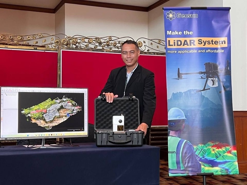
2024-03-07Geosun Navigation Highlights in Geo Connect Asia 2024On March 6, Geo Connect Asia 2024 was successfully held at the Sands Exhibition and Convention ...