GEOSUN Introduction
Wuhan Geosun Navigation Technology Co.,Ltd.(hereafter referred to as GEOSUN),is a technical enterprise based on fully independent intellectual property rights and dedicated to the applications of GNSS(Satellite Navigation),INS(Inertial Navigation), VL(Visual Positioning),LiDAR(Light Detection and Ranging), SLAM(Synchronous Location and Mapping)and other professional technologies.
The company provides GNSS satellite positioning equipment,multi-sensor integrated positioning and navigation systems, LiDAR scanning systems, satellite positioning deformation monitoring systems, rail smoothness inertial navigation detection system, and low-cost navigation system for unmanned vehicles.
The company's products and solutions are widely used in land and resources, agriculture,forestry, water conservancy,electric power, smart city, petroleum, surveying and mapping, transportation, communications and other fiels.
Company Awards
GEOSUN has obtained 19 invention patents, 9 utility model patents, 8 software copyrights, and more than 40 solutions. And also has obtained ISO9001:2008 quality management system certification, national military standard certification, and dual-soft certification.
Intellectual property and achievements.

GEOSUN is located in East Lake Hi-tech Zone Wuhan City, Capital of Hubei province. With more than 800 square meters working area, it provides good and comfortable environment for GEOSUN team.
GEOSUN not only pays attention to technology, but also maintains the manufacturing advantages through advanced equipment and tooling, as well as the ever-increasing technology level. GEOSUN not only has an assembly line adaptable to multiple working media, but also combined into a high-quality, high-efficiency machine production process with the evaluation of the welding process, efficient assembly process and unique testing equipment.
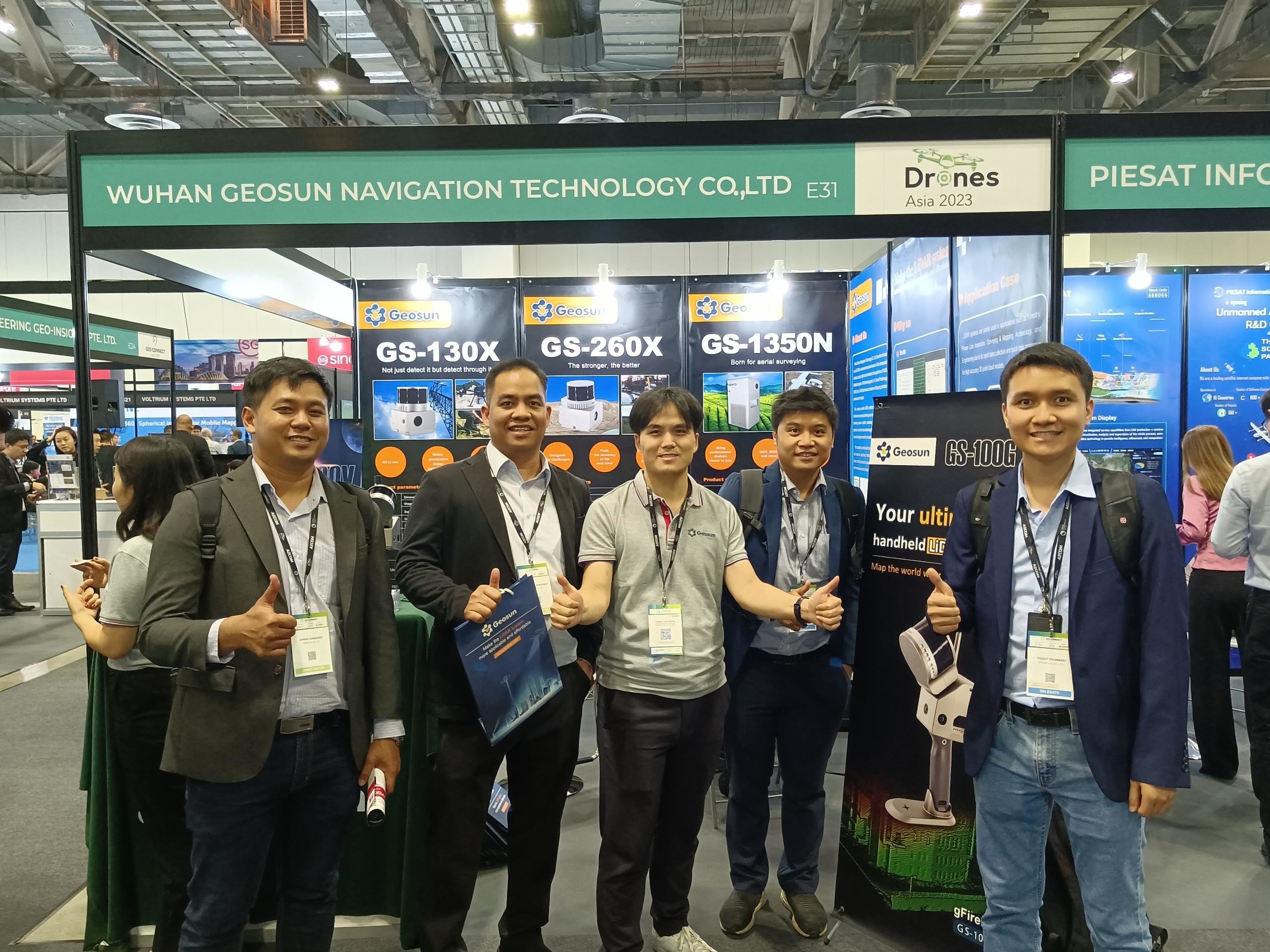
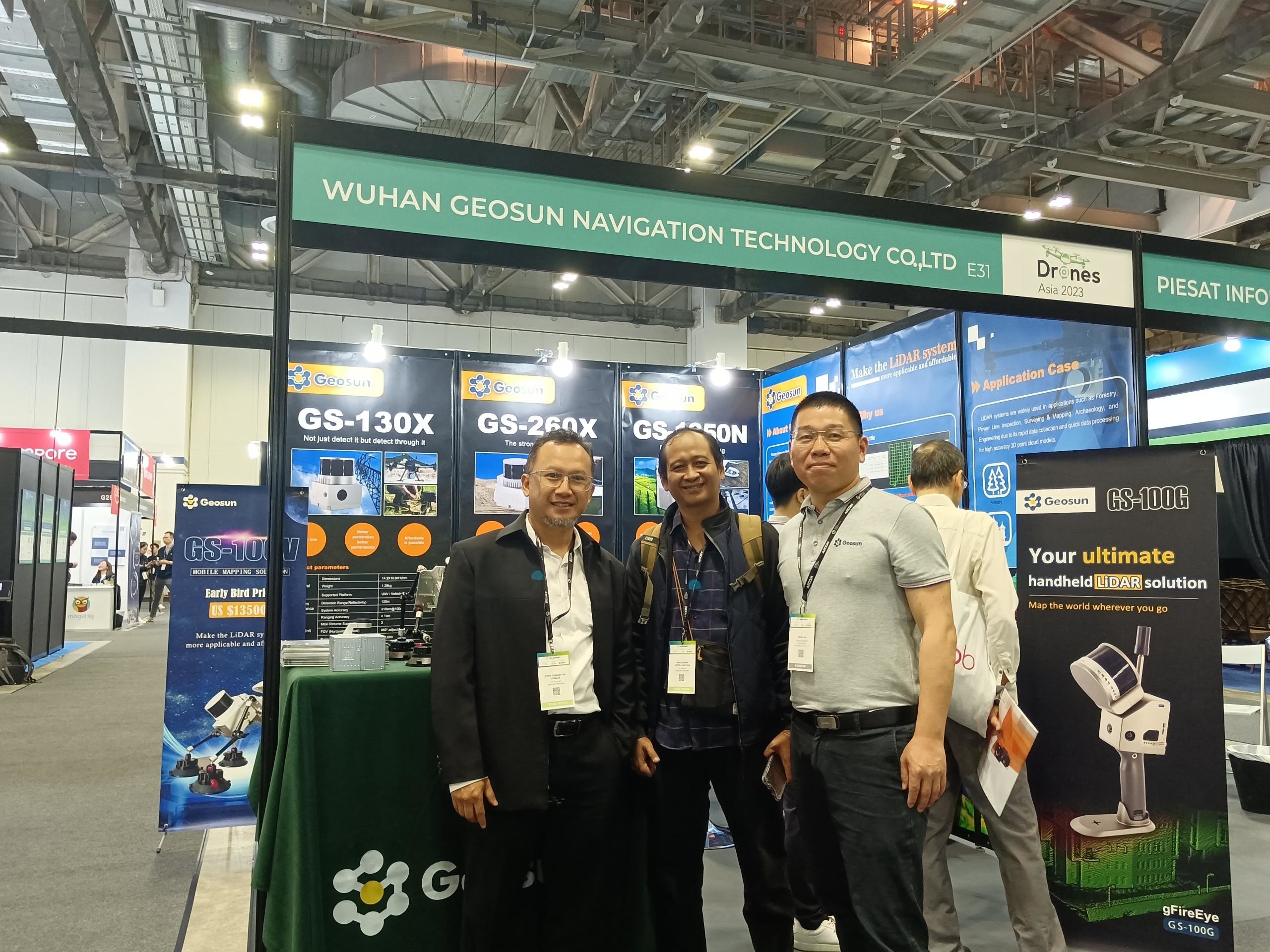
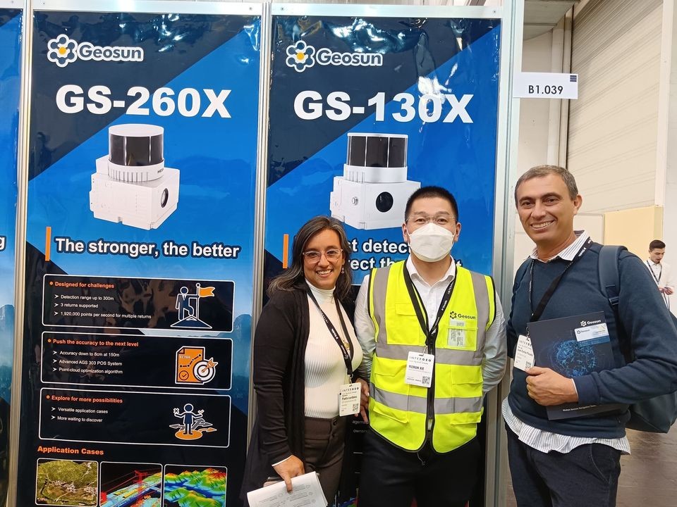
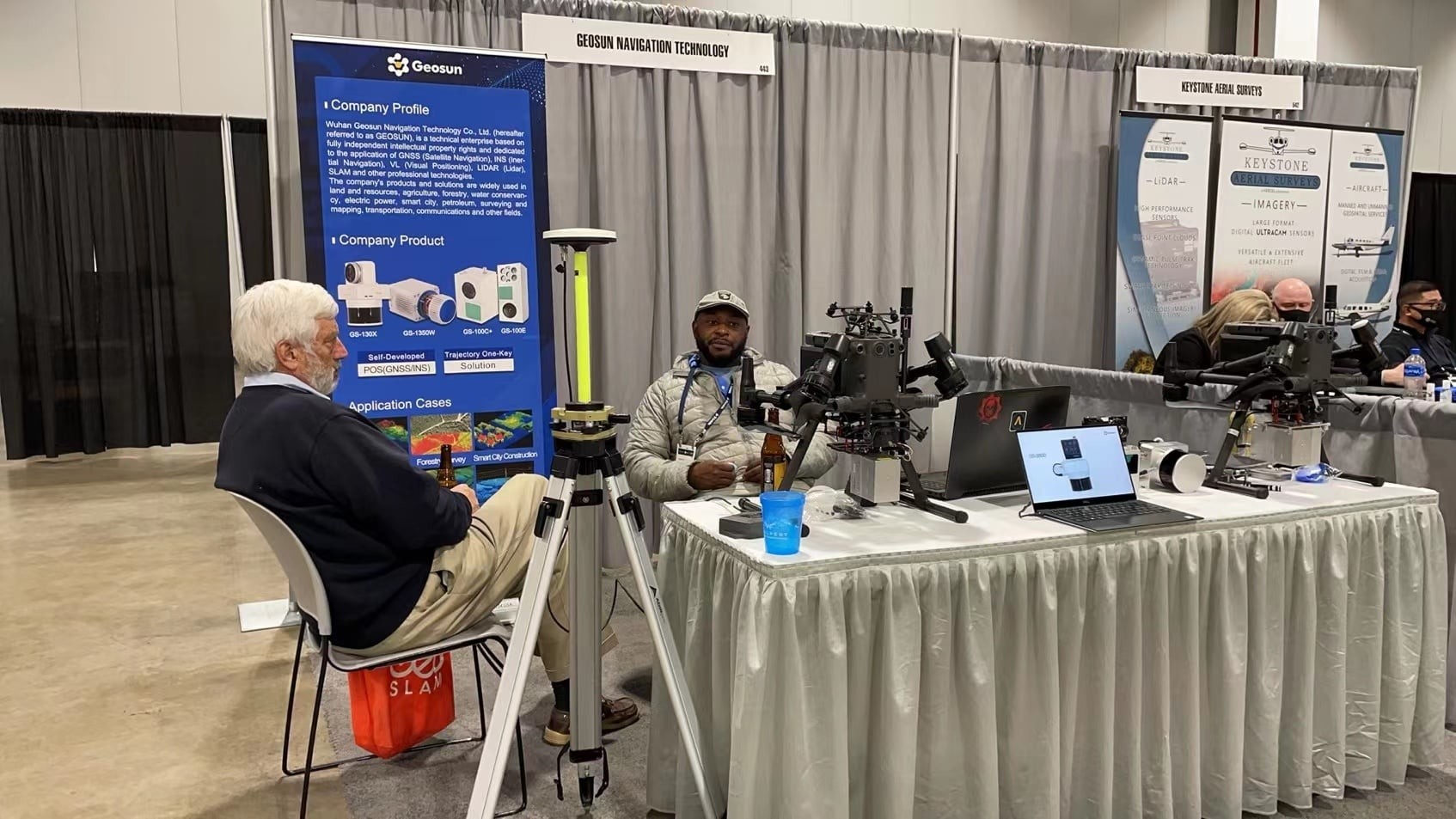
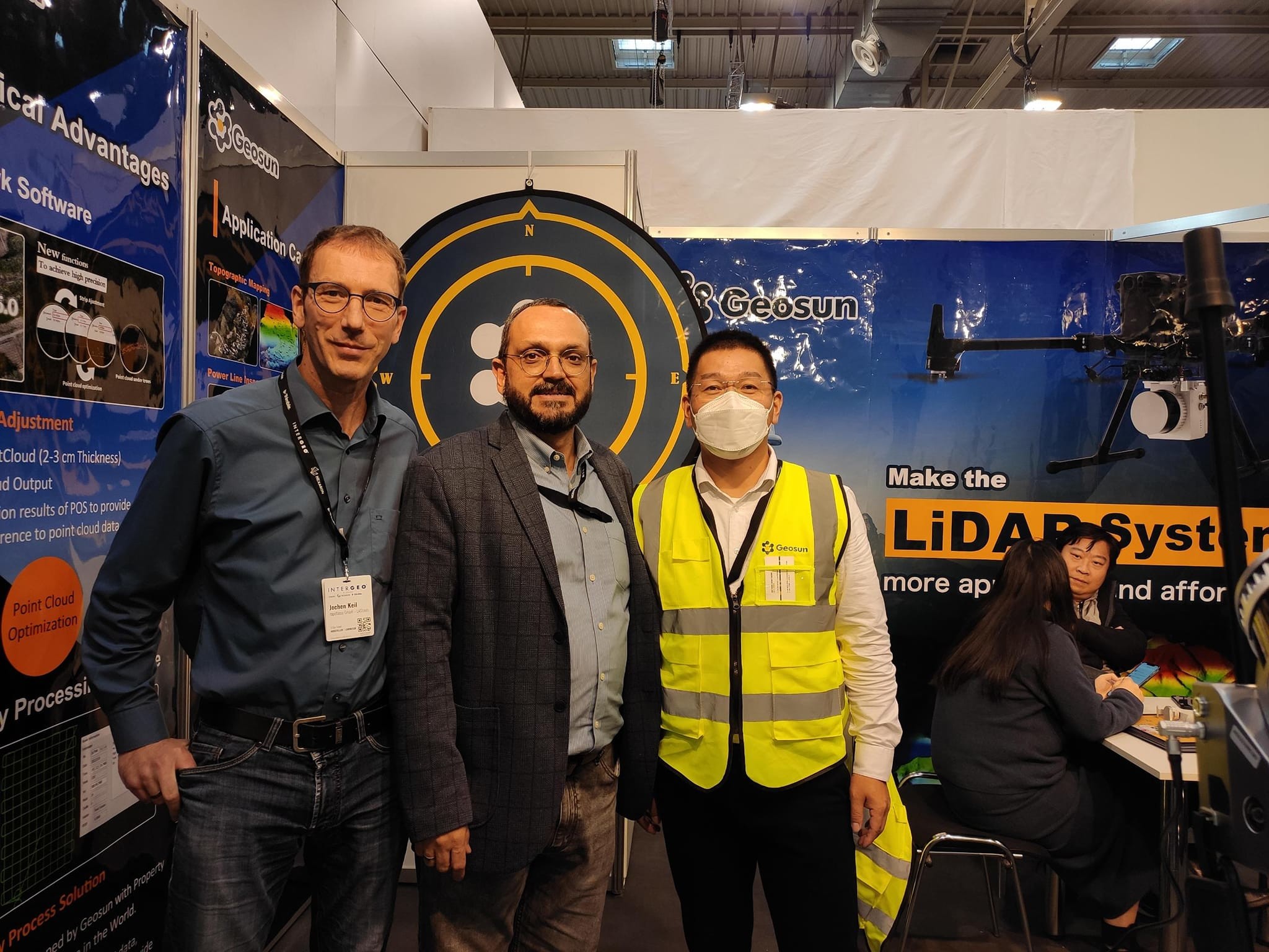
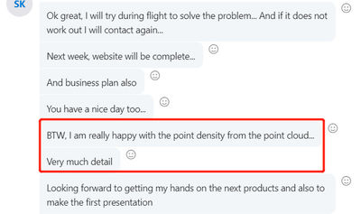
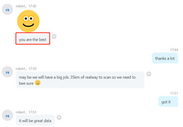
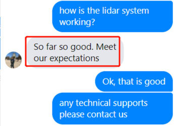
With the development of high technology and experiences in background, GEOSUN products are welcome and popular by the clients from all over the world. There are many clients visiting GEOSUN.
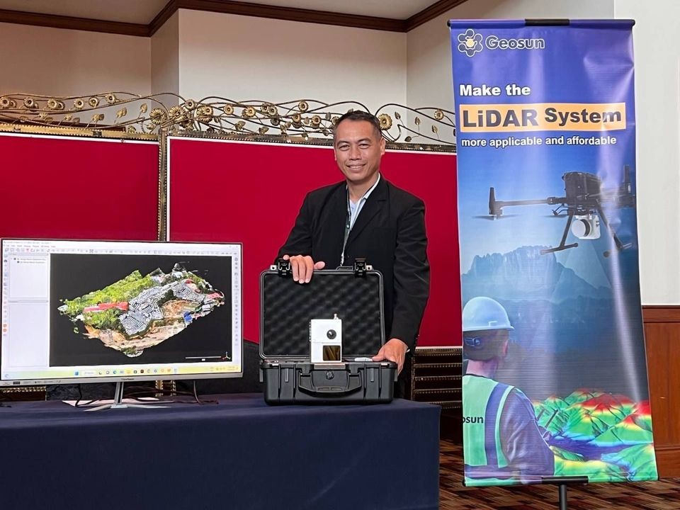
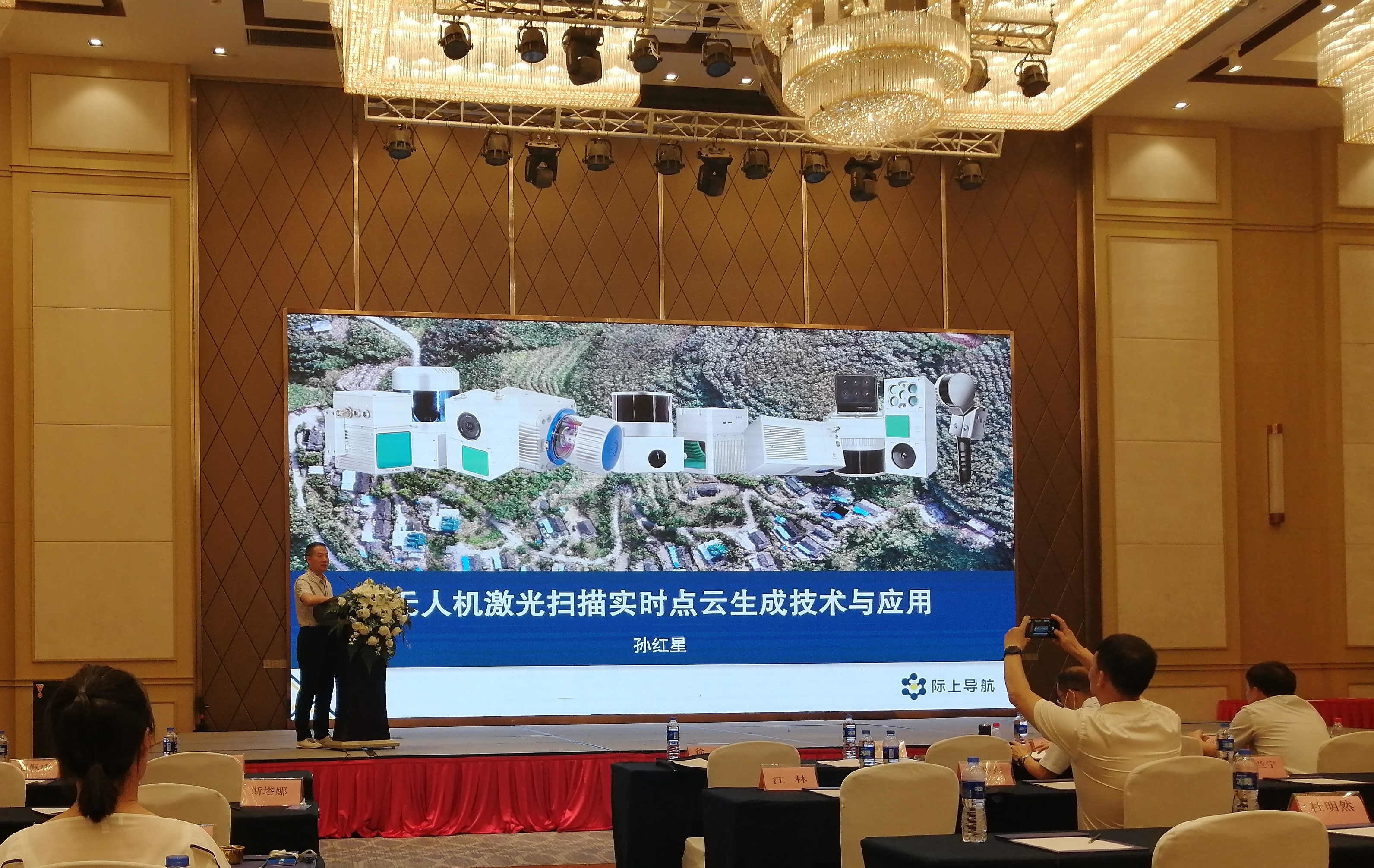
GEOSUN regularly organizes lidar system equipment technical support training and flight operation, and also requires domestic and foreign dealers to provide training and guidance for local clients.
The lidar system are widely used in the acquisition of 3D spatial information in surveying, electricity, forestry, agriculture, land planning, geological disasters and mine safety.
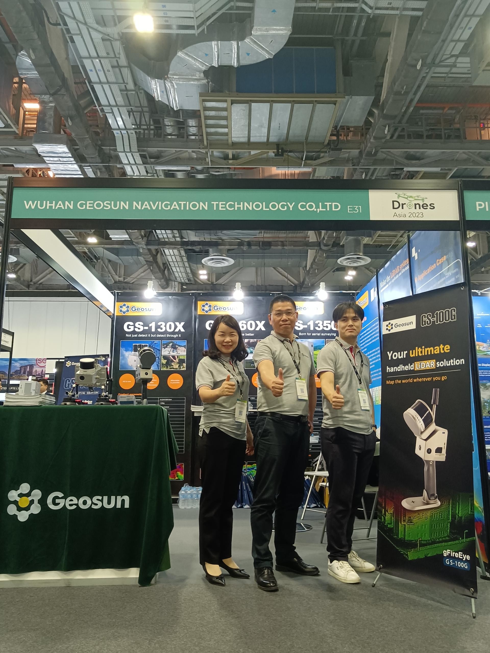
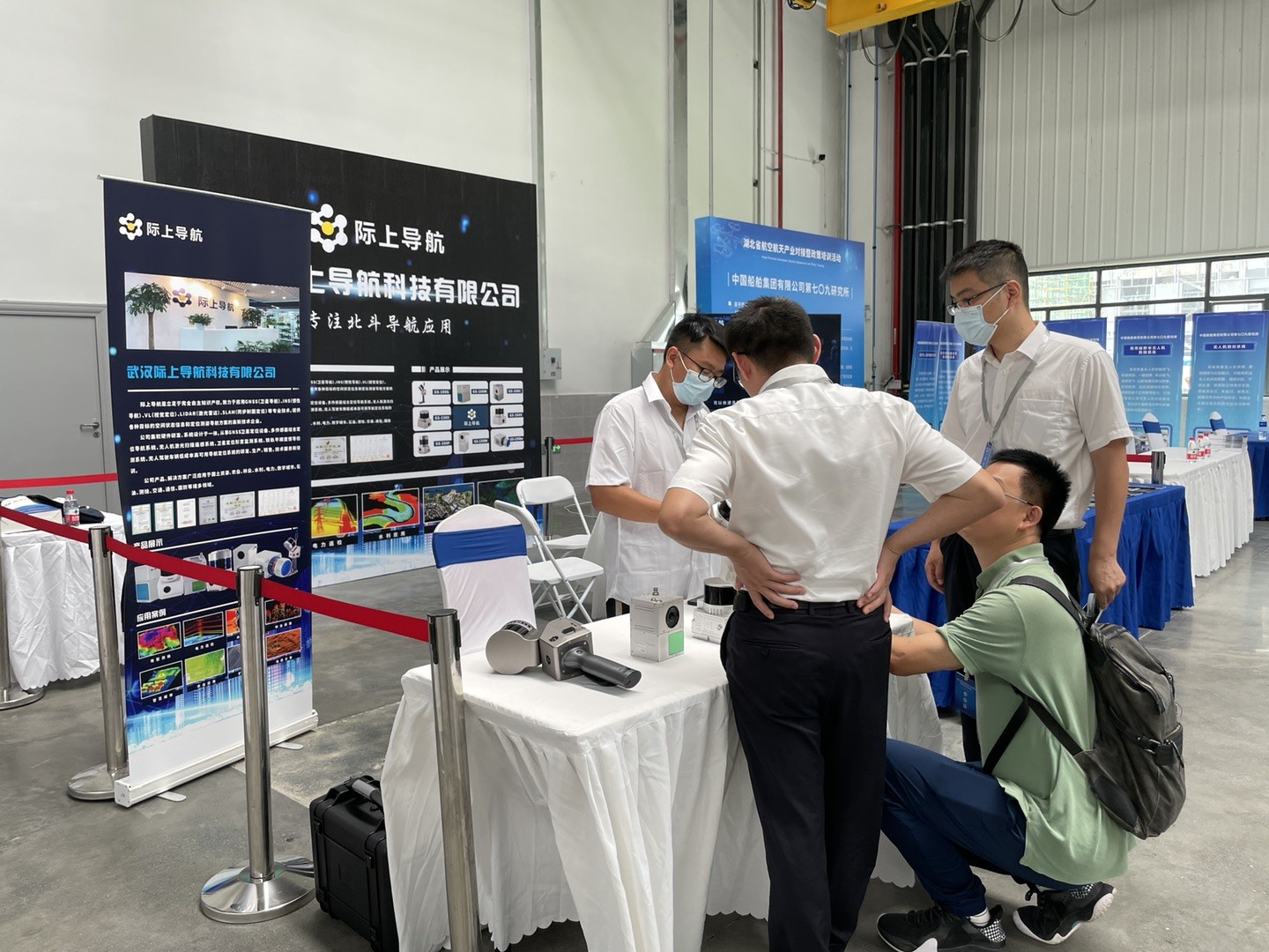
Every year there are kinds of exhibitions in mapping & survey fields, and GEOSUN are there.
Cultivation of professional quality of employees. We will build a corporate culture and build a cohesive and proactive team with the "GEOSUN" magazine, the inter-site website, and the GIS technology forums.
Employee spirit
Diligence - Dedication, truth-seeking and pragmatism
Aggressiveness – Never satisfied, strive for excellence
Collaboration – Obey the big picture, unite and collaborate