


EU Airborne UAV LiDAR Scanning GS-130X Hesai XT32 Laser Senor High Accuracy Pos Colored Point Cloud

Contact Person : Lanbooxie
Phone Number : +86 15527360208
WhatsApp : +8615527360208


| Minimum Order Quantity : | 1 | Price : | Negotiation |
|---|---|---|---|
| Packaging Details : | Suit Case 520*420*230 mm | Delivery Time : | 10-15 works days |
| Payment Terms : | T/T, Western Union | Supply Ability : | 30 SETS/Month |
| Place of Origin: | China | Brand Name: | Geosun |
|---|---|---|---|
| Certification: | CE, ISO | Model Number: | GS-260S Mobile LiDAR Scanning System |
|
Detail Information |
|||
| Name: | LiDAR Mobile Mapping System | Industry: | Mounted On The Vehicle |
|---|---|---|---|
| Application: | City Construction | Beam: | 20 Beam |
| Laser Brand: | HESAI Pandar | Platform: | DJI M300 Platform |
| High Light: | 200m LiDAR Mobile Mapping System,GNSS LiDAR Mobile Mapping System,DJI M300 LiDAR Mobile Mapping System |
||
Product Description
GNSS 200m LiDAR Mobile Mapping System DJI M300 Platform
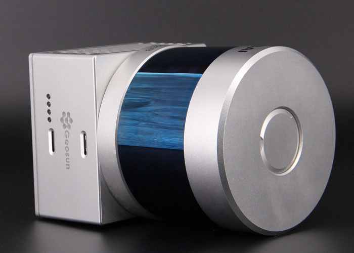
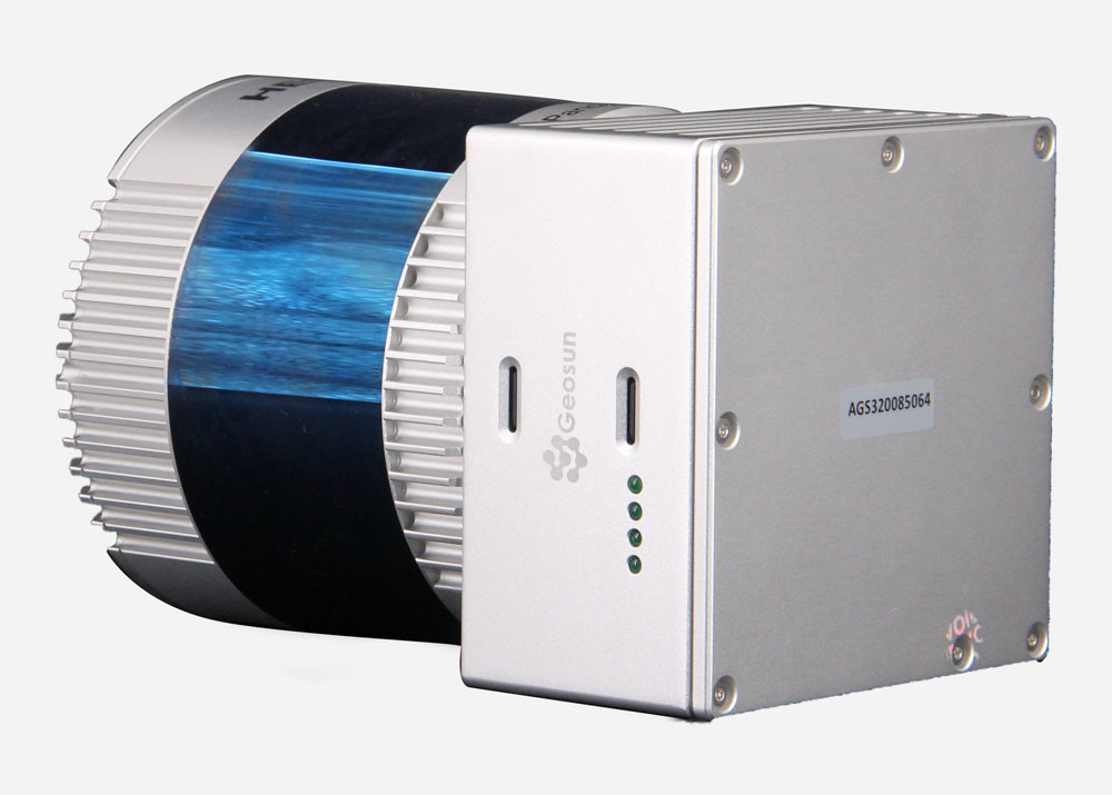
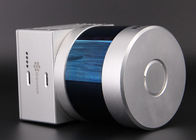
gAirHawk GS-260S is a kind of Mid-range, compact LiDAR Mobile Mapping System, integrated HESAI Pandar laser scanner, GNSS and IMU positioning and attitude determination system, and storage control unit, is able to real-time, dynamically, massively collect high-precision point cloud data and rich image information. It is widely used in the acquisition of 3D spatial information in surveying, electricity, forestry, agriculture, land planning.
Pandar20B 20-Channel Mechanical LiDAR
![]()
Specification Of LiDAR Mobile Mapping System
| gAirHawk GS-260S LiDAR Mobile Mapping System | ||
| Item Name | System Parameters | |
|
Parameters |
Weight | 1.9 kg (without camera) |
| Measuring accuracy | 0.1m/0.05m(@150m) | |
| Working temperature | -20℃~+60℃ | |
| Power range | 12 V- 24 V | |
| Consumption | 20 W | |
| Carrying Platform | DJI M300, M600 PRO | |
| Storage | 64 GB storage, maximum support 128GB TF card | |
|
Lidar Unit
|
Measuring Range | 0.3m-200m@10% Reflectivity |
| Laser class | 905nm Class1 (IEC 60825-1:2014) | |
| Laser line number | 20-Beam | |
| Max. range | 200 m | |
| Mix. range | 0.3 m | |
| Range accuracy | ±5cm (@0.3m~5m), ±2cm (@0.5m~200m) | |
| Scanning frequency | 10HZ, 20HZ | |
| data | Double echo 720,000 Points/Sec | |
| FOV | 360°, adjustable | |
| Laser sensor | HESAI Pandar 20B | |
| Pre-processing software | POS software | Output information: position, speed, attitude |
| Point cloud software | Output point cloud data format: LAS format, custom TXT format | |
Application for Road Mapping
![]()
![]()
Package
It is packed by suit case with EVA material liner inside, then covered by hard carton box. It is suitable for air shipment and sea shipment.
![]()
Enter Your Message
| Wuhan Geosun Navigation Technology Co., Ltd |
| 4F, Building D, Tianyi plaza No.8 West Maodianshan Road, East Lake Hi-tech Zone Wuhan City, China |
| +86--15527360208 |
| sales@geosunlidar.com |