


EU Airborne UAV LiDAR Scanning GS-130X Hesai XT32 Laser Senor High Accuracy Pos Colored Point Cloud

Contact Person : Lanbooxie
Phone Number : +86 15527360208
WhatsApp : +8615527360208
| Minimum Order Quantity : | 1 | Price : | Negotiation |
|---|---|---|---|
| Packaging Details : | Suit Case 450*365*200 mm | Delivery Time : | 10-15 works days |
| Payment Terms : | T/T, Western Union | Supply Ability : | 30 SETS/Month |
| Place of Origin: | China | Brand Name: | Geosun |
|---|---|---|---|
| Certification: | CE, ISO | Model Number: | GS-260P LiDAR Scanning System |
|
Detail Information |
|||
| Operation Efficiency: | 4 Km2 / Single Flight | Applicaton: | Forestry |
|---|---|---|---|
| Echo: | Triple Echo | Light Weight: | Less Than 850 G |
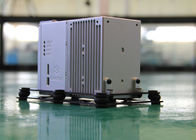
| High Light: | Geosun DJI M210 Drone mounted LiDAR,Triple Echo livox avia lidar,Livox Avia Laser Drone Mounted LiDAR |
||
Product Description
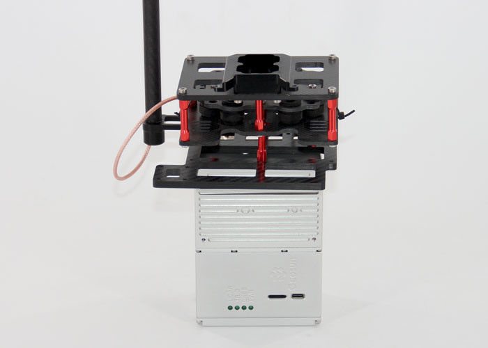
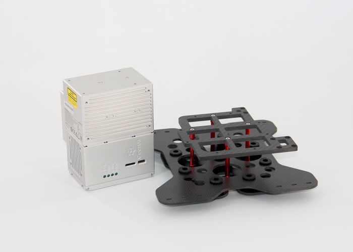
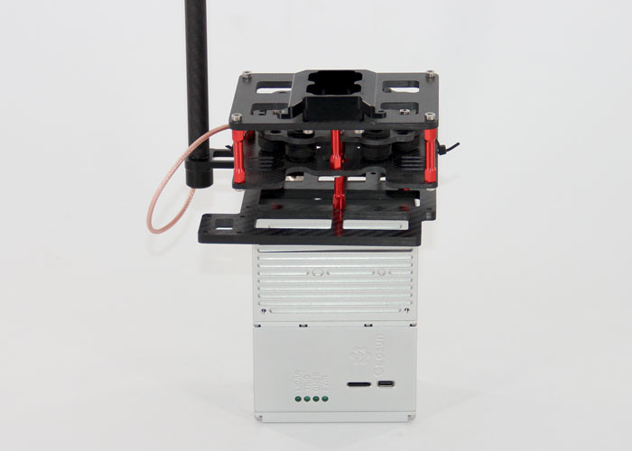
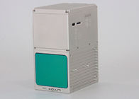
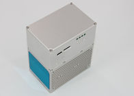
gAirHawk GS-260P LIDAR SCANNING SYSTEM
Drone LiDAR Scanning System Mounted on DJI Drone with Triple Echo Livox Avia Laser Sensor
gAirHawk GS-260P is a kind of light compact LiDAR point cloud data acquisition system, integrated Livox new generation laser scanner, GNSS and IMU positioning and attitude determination system, and storage control unit, is able to real-time, dynamically, massively collect high-precision point cloud data and rich image information. It is widely used in the acquisition of 3D spatial information in surveying, electricity, forestry, agriculture, land planning.
Long Detection Range
The Livox Avia adjusts its detection range according to the intensity of ambient light, while maintaining noise at a low level. The detection range increases to 450m under low-light conditions (such as on a cloudy day, indoors or at night), ensuring distant objects are captured in detail.
![]()
Dual-Scanning Mode
The use of multi-line laser and high-speed scanning enable the Livox Avia to achieve a point cloud data rate of up to 240,000 points/s. The high performance device is equipped with both repetitive and non-repetitive scanning modes, to meet the needs of different scenarios.
![]()
Specification
|
|||||||||||||||||||||||||||||||||||||||||||||||||||||||||||||||||||||
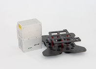
Application for Forestry
![]()
Package
It is packed by suit case with EVA material liner inside, then covered by hard carton box. It is suitable for air shipment and sea shipment.
![]()
![]()
Enter Your Message
| Wuhan Geosun Navigation Technology Co., Ltd |
| 4F, Building D, Tianyi plaza No.8 West Maodianshan Road, East Lake Hi-tech Zone Wuhan City, China |
| +86--15527360208 |
| sales@geosunlidar.com |